Urwaldsteig Edersee
Waldeck - Herzhausen (33km)
The Urwaldsteig trail spans a length of 66 kilometers through the UNESCO World Heritage Site in the Kellerwald-Edersee National Park.

Urwaldsteig Edersee

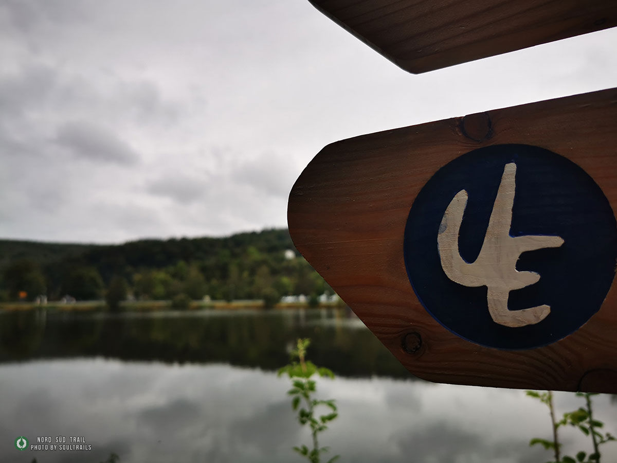
Trail Marking of the Urwaldsteig Edersee
The Urwaldsteig Edersee is a hiking trail in Germany that passes through the Kellerwald-Edersee National Park. The national park is located in Hesse and was established in 2004. The Urwaldsteig Edersee is approximately 68 kilometers long and traverses parts of the national park considered as “primeval forest.” Here, one can experience nature in its original state, with old, untouched forests and a diverse wildlife.
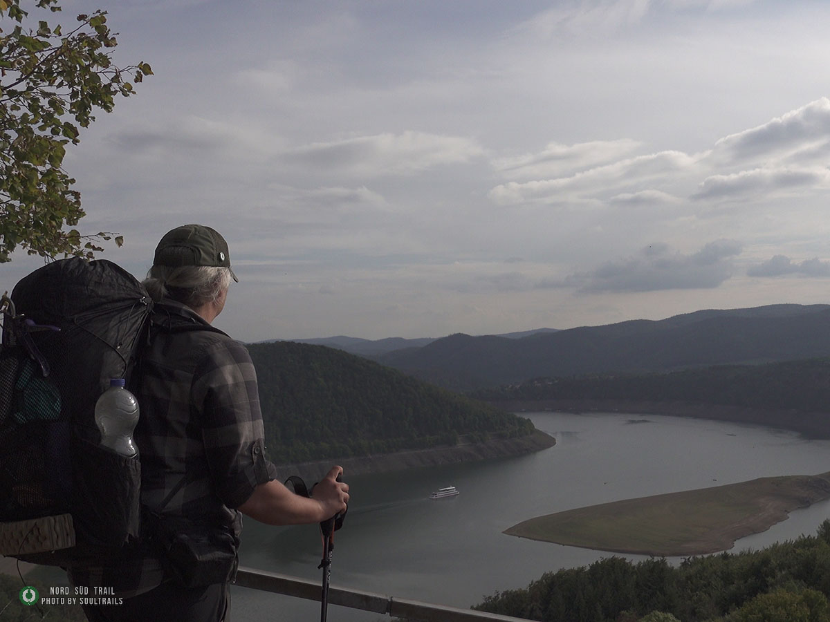
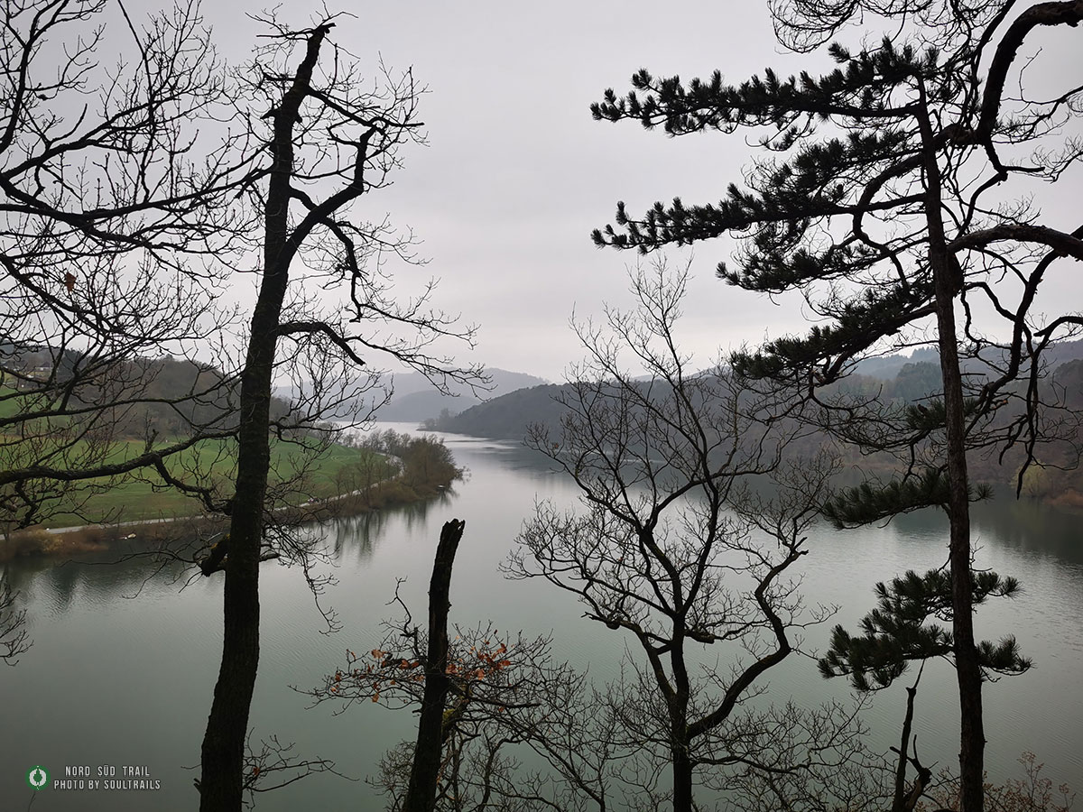
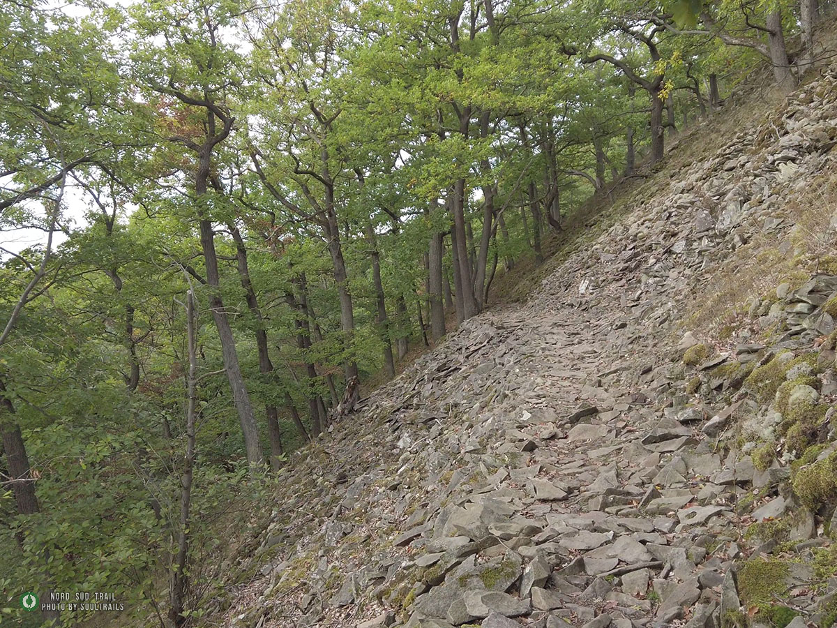
From the main street in Waldeck, the trail now leads towards Schlossberg. Continuing downhill, you reach the Waldecker Bucht. The path goes through natural forests gently uphill until you encounter a steep switchback trail leading into a creek valley. Crossing a wooden bridge, the trail continues on beautiful single trails along the Edersee slope. At Mühlecke, a crooked, lichen-covered steep slope, you reach a picturesque viewpoint. After Mühlecke, it descends to the Niederwerber Bucht.
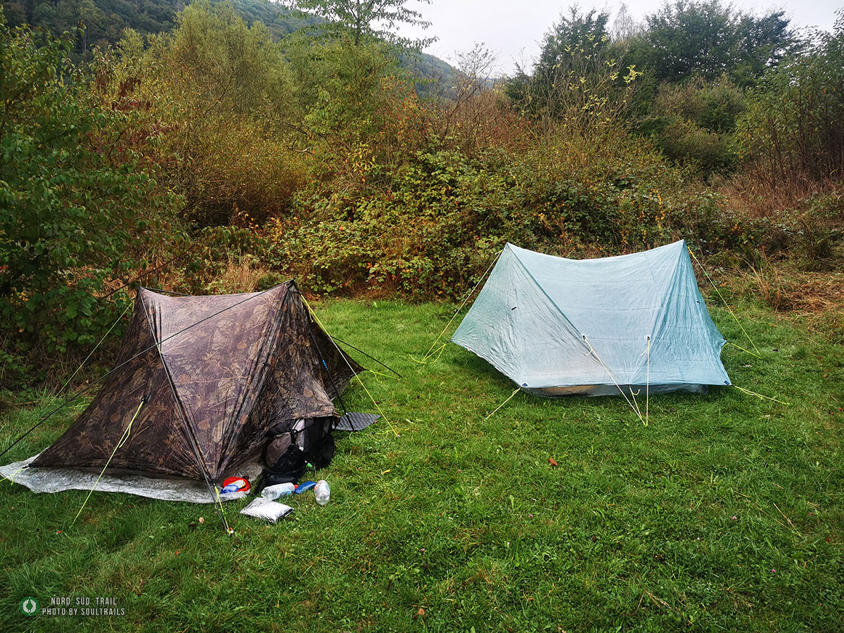
After crossing the bay, the trail repeatedly leads through deeply cut creek valleys. In the subsequent village of Scheid, there is a campsite, guesthouses, and a highly recommended restaurant.
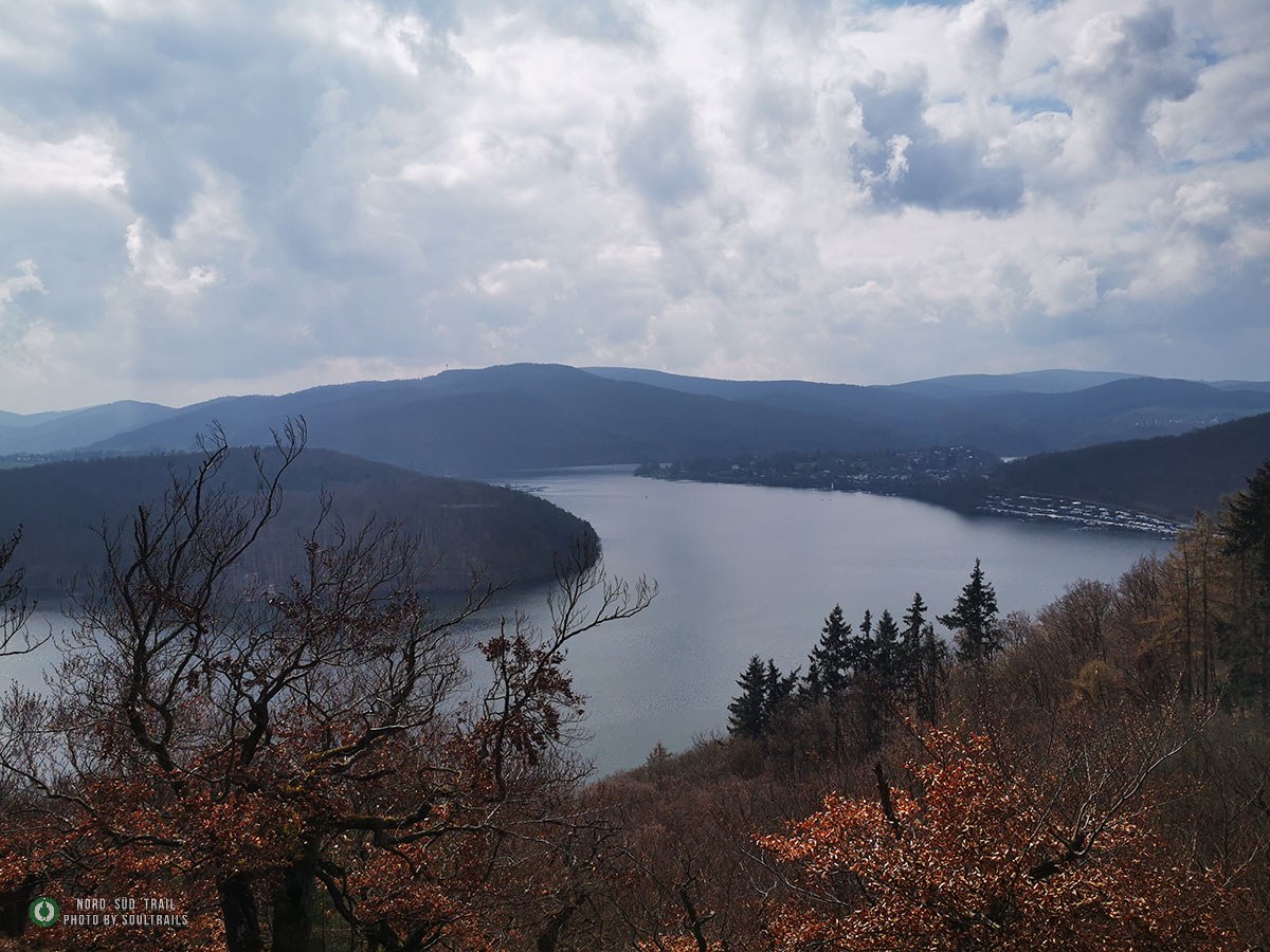
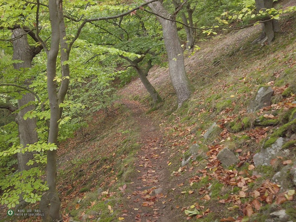
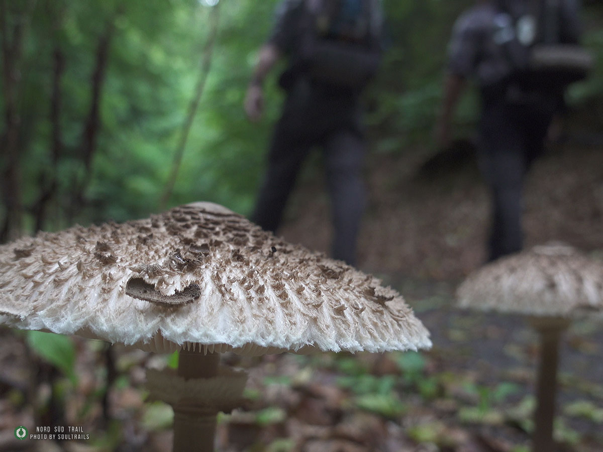
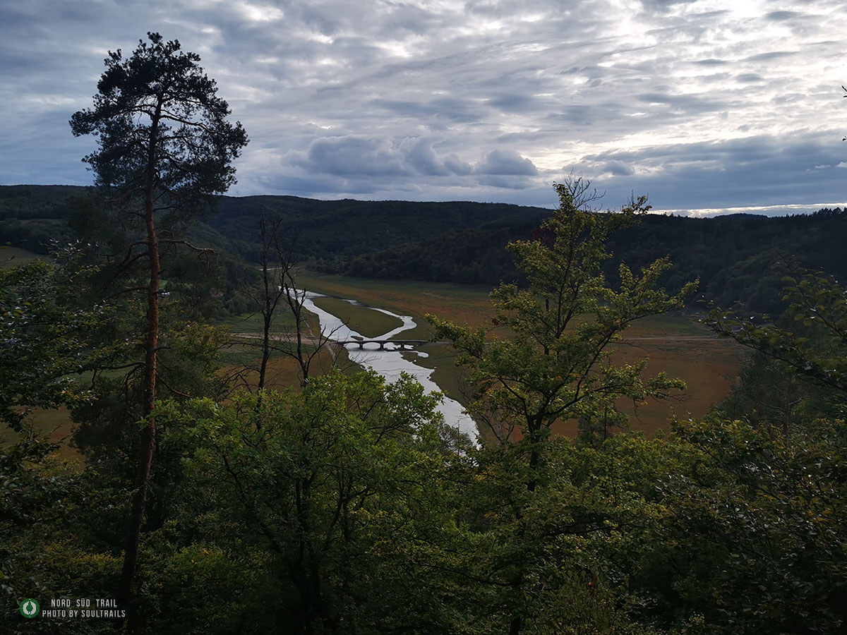
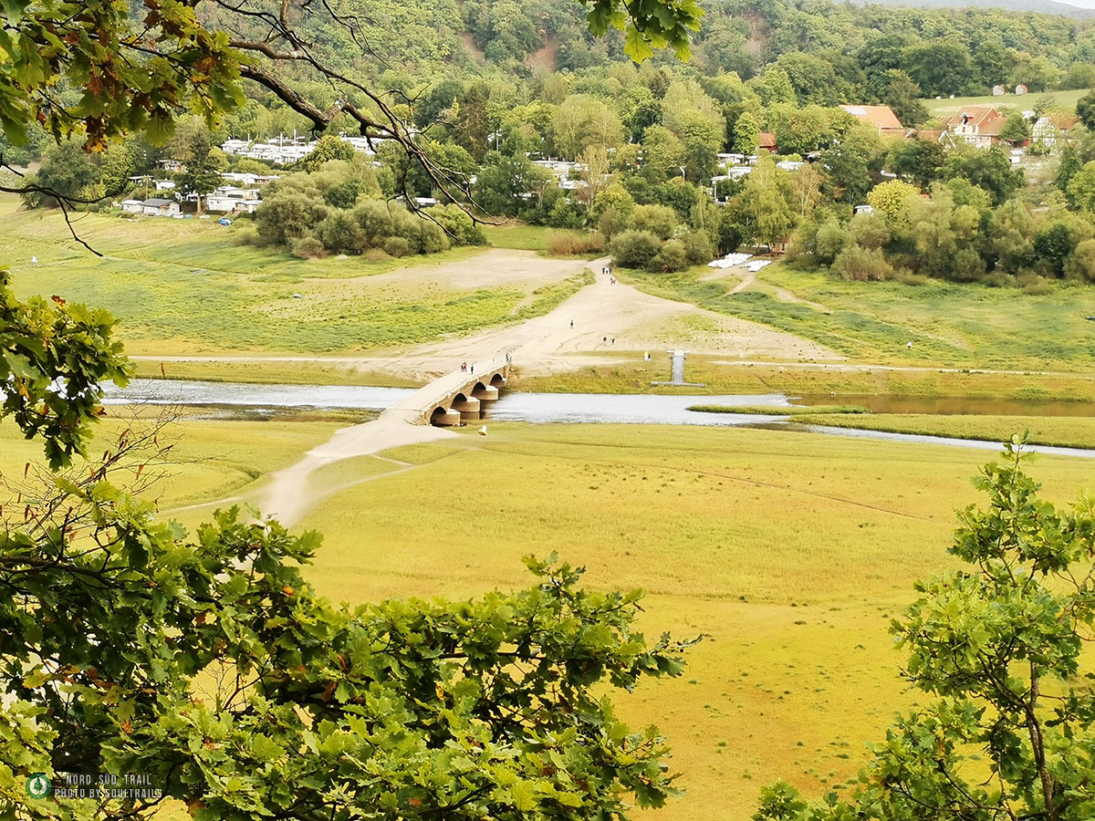
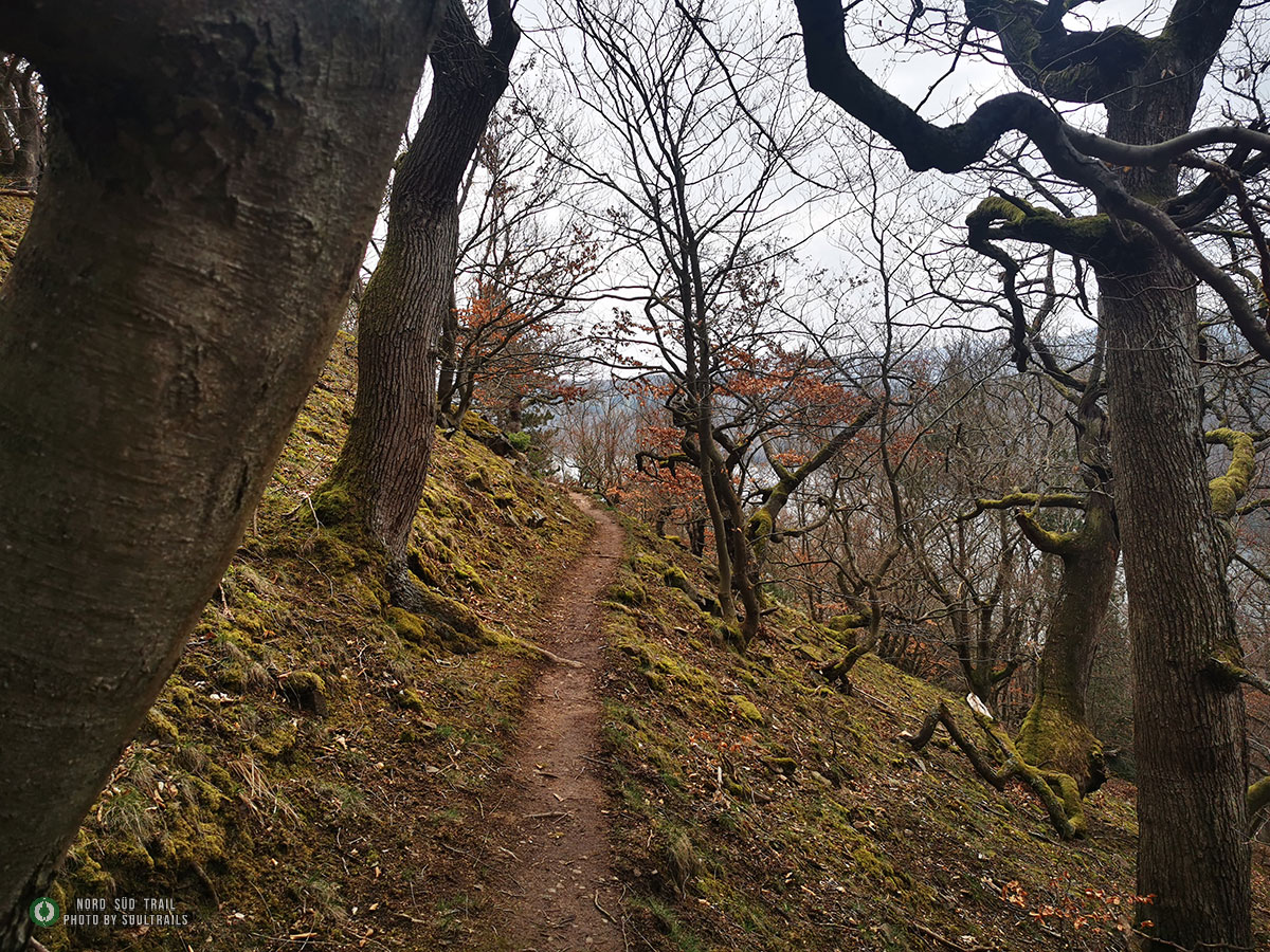
After leaving Scheid, the trail takes us to Kahlen Hardt, which impresses with the last true remnants of primeval forest and beautiful views of Lake Eder and the national park. After a short section through deciduous mixed forests, we continue on single trails passing quaint, gnarled forest scenes. On the Lindenberg ridge, we hike up to the remains of the “Hünselburg.” Then, many spectacular single trails await us through partly fairytale-like, quaint forest scenes or steep scree slopes along the Lindenbergs. The trail continues gently uphill until we reach the next viewpoint. On Katzenberg, a magnificent view of Lake Eder awaits us, overlooking Asel-Süd. During extremely low water levels, as in late summer 2022, Lake Eder reveals the well-preserved Aseler Bridge. This bridge was first submerged by the dammed water of the Eder in 1914. It is impressive to stand at the bridge and contemplate that, at normal water levels, you would now be about 10 meters below the water surface. The trail now slowly leads into the Aseler Bucht.
 for Wordpress and WooCommerce.")