mail@nordsüdtrail.de
  • German
Socials
  • TikTok
  • Mastodon
logo dark logo light logo
  • Home
  • The Trail
    • Interactive map
    • History
    • Signage
    • Downloads
    • Latest news
  • Thru Hike
    • Hall of Fame
    • Resources
    • Rules
    • Register Thru Hike
    • FAQ – Frequently asked questions
    • Thruhiker Dictionary
  • Community
    • Trail Angels
    • Support NST
    • Find Penguins
    • Videos
Mobile Logo
  • Home
  • The Trail
    • Interactive map
    • History
    • Signage
    • Downloads
    • Latest news
  • Thru Hike
    • Hall of Fame
    • Resources
    • Rules
    • Register Thru Hike
    • FAQ – Frequently asked questions
    • Thruhiker Dictionary
  • Community
    • Trail Angels
    • Support NST
    • Find Penguins
    • Videos
Path closures
19. April 2022
by Initiative NST

NST Trail Change in the Northern Section

Read More
Path closures
2. April 2022
by Initiative NST

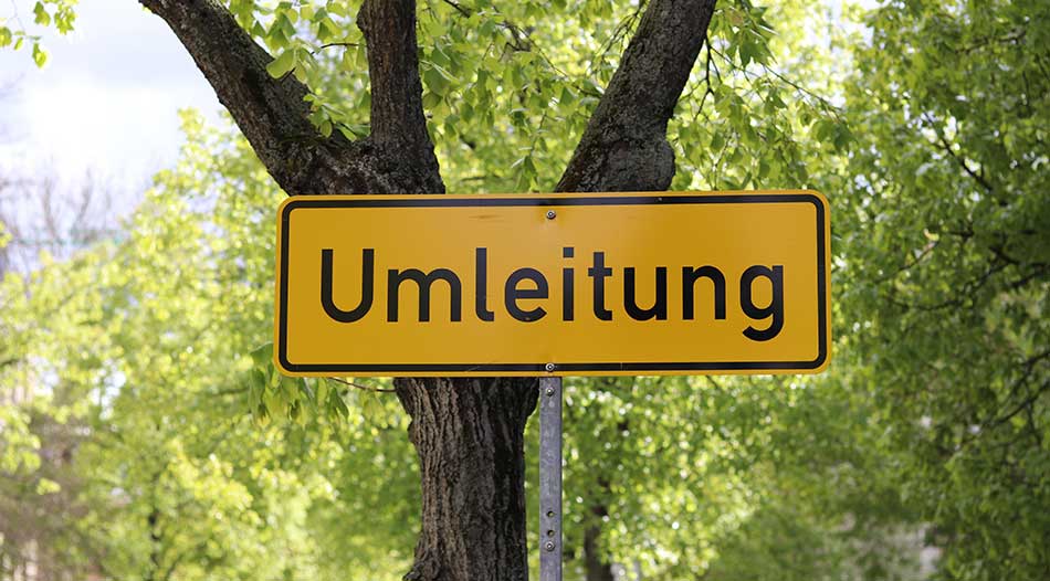
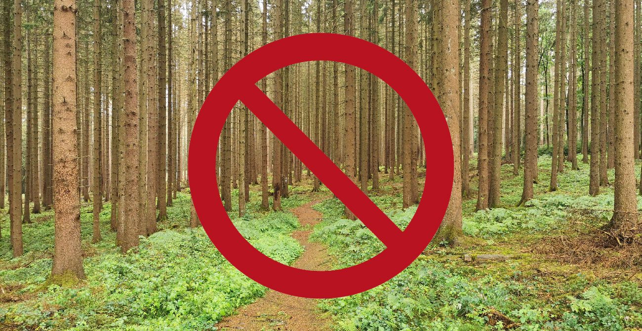
Currently – Trail Closure on the NST

Here in the Siegtal valley, a very beautiful section of the NST on the Natursteig Sieg has unfortunately been affected. The high trail between Stromberg and Herchen is currently impassable

Read More

Diese Seite und alle angebotenen Downloads sind 100% Kostenlos. Du möchtest uns trotzdem unterstützen? Ich würde mich sehr über ein Dankeschön, z.B. in Form einer kleinen Geldspende über PayPal freuen. Es gibt aber auch noch andere Möglichkeiten, das Projekt zu unterstützen.

PayPal

FOLLOW US

  • YouTube
  • Instagram
  • TikTok
  • Mastodon

  • English
    • German

Der Nord Süd Trail – Das ist der Weg !

Der Nord Süd Trail ist Deutschlands längster Fernwanderweg. Auf 3620 km führt er vom nördlichsten Punkt Deutschlands auf Sylt zum südlichsten Punkt, dem Haldenwanger Eck.


Zum Ändern Ihrer Datenschutzeinstellung, z.B. Erteilung oder Widerruf von Einwilligungen, klicken Sie hier: Settings